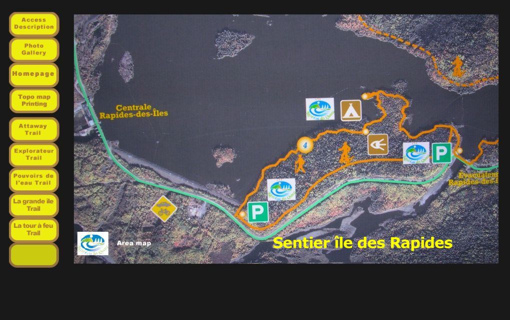

Access
For trail areas, as well as for a trail in particular,
consult the Site Area Map
and the accompanying text for road assistance.
Access to the Île des rapides trail
With reference to the map above, the following access points are available.
From the north, the first access is 350 m from the Rapides-des-Îles
Power Station. A second access can be reached by travelling another
1.2 km to reach a second parking area and trailhead.
From the south, one possibility is to reach the parking area near the
Rapides-des-Quinze chute or drive a little farther to a point towards the
Rapides-des-Quinze Power Station.
Description
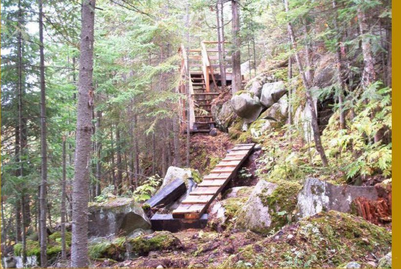
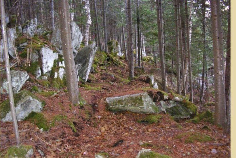
Trail # 4 is a 3,3 km loop considered to be an easy trail suited for beginners in
summertime or intermediate hikers in the wintertime.
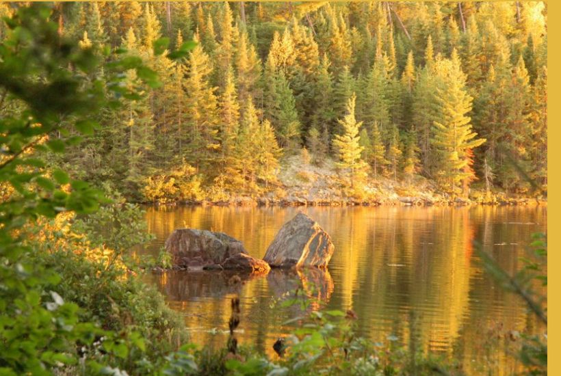
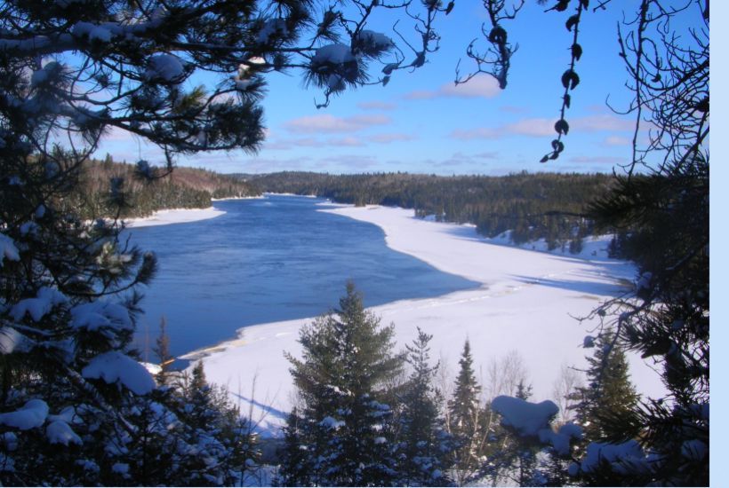
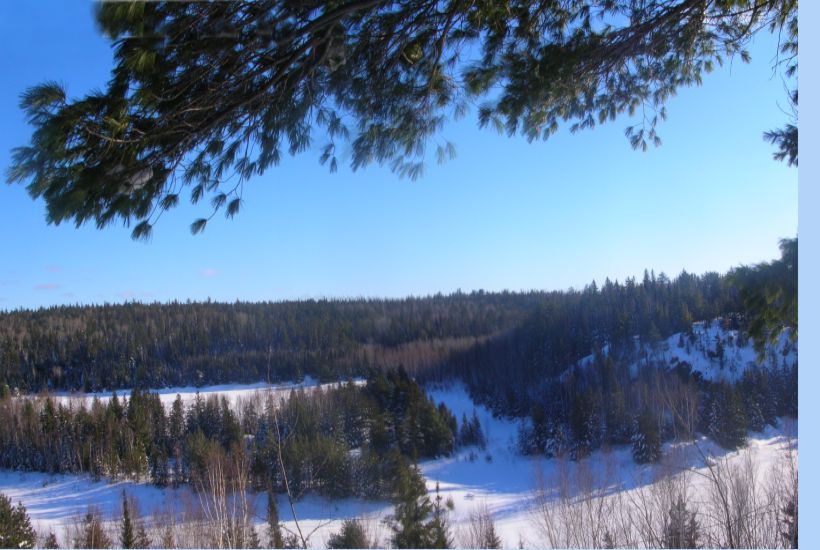
With the construction of Rapides-des-Quinze Hydroelectric Power Station in 1964, the
“rapid island” has become a peninsula and is now accessible as. You will
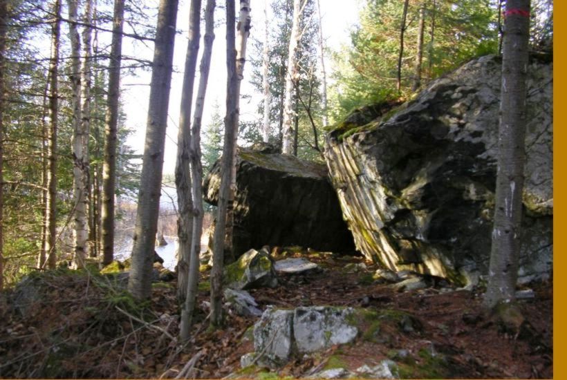
enjoy majestic red pines, towering erratic boulders and breathtaking
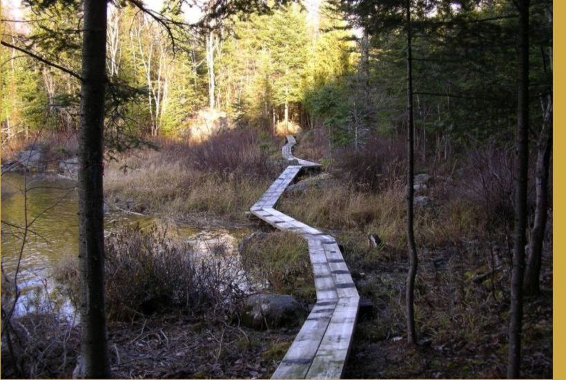
surprises in each bay. Water never leaves your sight whether you follow the
trail from the left or from the right.
Midway along the trail, you will encounter a rustic camping area that allows
canoeists and kayakers two tent sites and outhouse.
Top of page
Top of page Photo gallery Move slowly your cursor or touch your touchscreen, on the right side of the picture .